

Will this season be a quick starter?
Will this season be a quick starter?
Taking a look at models and conditions to make a guess!
Severe weather season typically follows a loosely standard format. Each season starts in the southeastern states in late January to February then they slowly migrate north and west onto the Plains by spring and into the Midwest and Canada by summer.
Is this season looking any different? Let’s dive in.
The Drought
As we touched on in our early clues about storm season newsletter, the drought is strong and becoming more widespread with time. The Climate Prediction Center forecasts the drought to maintain and expand through February on the Plains, but drought removal may take place across portions of the southeast back into Texas.
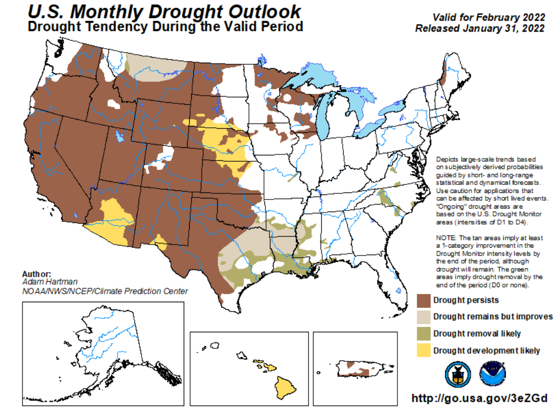
We don’t typically look for severe weather setups in February for the Plains, so the drought expanding is not a surprise. To get some drought removal in the Southeast does mean forecasters are eyeing a more active storm pattern which will inevitably mean severe weather setups given the time of year.
What Are Models Saying?
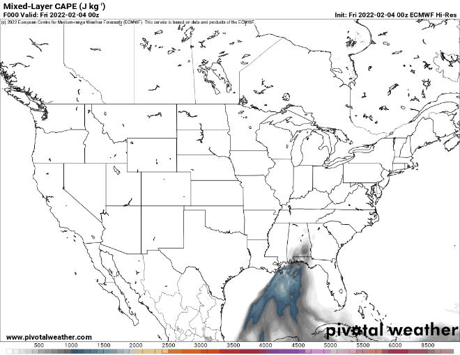
Weather models have some real limitations for long-range forecasting. Single runs of single models are not a great way to forecast for time periods longer than a week away. Still, I can definitely say that models are consistently showing a lack of instability over the country through the first half of this month.
Beyond that into the latter part of the months, I like looking at a variety of climate models to see what might happen.
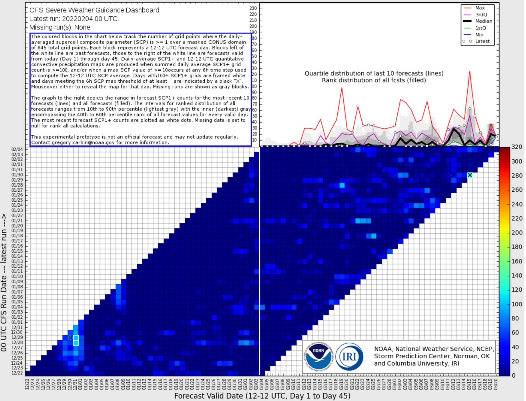
The chart above is definitely confusing but it is a single model’s depiction of severe weather ingredients over the country. There are signs that we may see these ingredients become a bit more common as we head into the latter half of February, where the squares quit being a deep, dark blue on the upper right portion of the graphic. Some of the long range connections you look for in the atmosphere across the globe tend to suggest this as well. This is also supported by forecasters calling for that drought relief in the southeast. This likely will mean the southeast will see some severe weather setups the last half of this month.
Look ahead to March
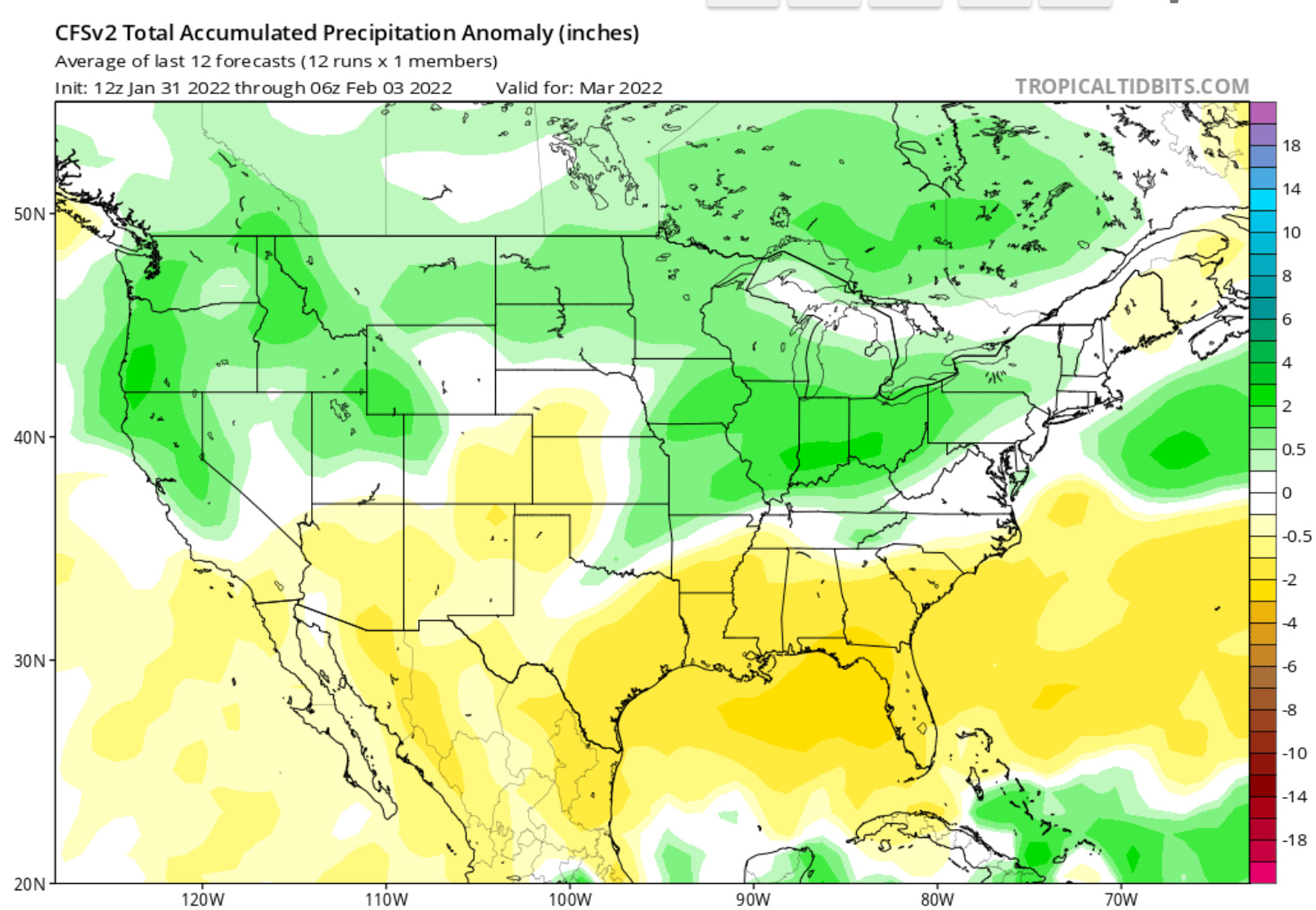
I don’t want to spend much time looking at March as I think the jury is still out on how it develops as a month. There are some signs that we may see increased precipitation on the eastern portions of the Plains — but the ongoing drought and the lack of a clear/strong signal right now has me thinking we will just have to wait and see. As I mentioned in our previous post, the signs kind of point to a lower than average tornado season. That thought really hasn’t changed in the past couple of weeks.
Overall, for us I am betting on no chasing our typical Plains setups until March for sure. My pure speculative guess is there may be a few decent setups over the Plains as we move through March though. As with all years, there will be storms and our hope is to be where they are at — so we’re getting final preparations for storm season this month and preparing to hit the road some in March.