

Early clues about tornado season?
Early clues about tornado season?
We’re starting to see some hints as to what Spring might bring.
Ok before we get too far into this post I just want to acknowledge the realness that everything I’m about to tell you is probably a lie but I’m going to tell it to you anyways.
Seasonal forecasts are hard enough, much less anticipating small-scale phenomena within those seasons like tornadoes. We can see clues and make connections based on past experience, but in this business there are exceptions to literally everything. So I want to convey that type of extreme uncertainty up front before we dive in! Are you in the right frame of mind? Ok! Let’s go for it.
Drought!
The first thing I want to take note of at this point in the winter is the expansive and rapidly expanding, strong drought conditions across the western U.S. into the Plains.

Droughts develop because there is less precipitation than normal — which is another way of saying the storm pattern is really, really quiet. Droughts can and do break all the time because the pattern changes, but they also can persist for months. Current forecasts have this drought expanding and strengthening through Spring.
The current drought conditions are reminiscent of the ‘heading into Spring’ droughts from some quieter storm years including 2014 or 2018. It also loosely resembles the drought conditions for the 2013 season which was incredibly quiet outside of a furious two week window in May.
La Niña
As we head into the Spring we are beginning to exit a second straight La Niña winter which is helping bring warmer and drier conditions to much of the Plains thus far. But, La Niña is rapidly weakening as of mid-January.
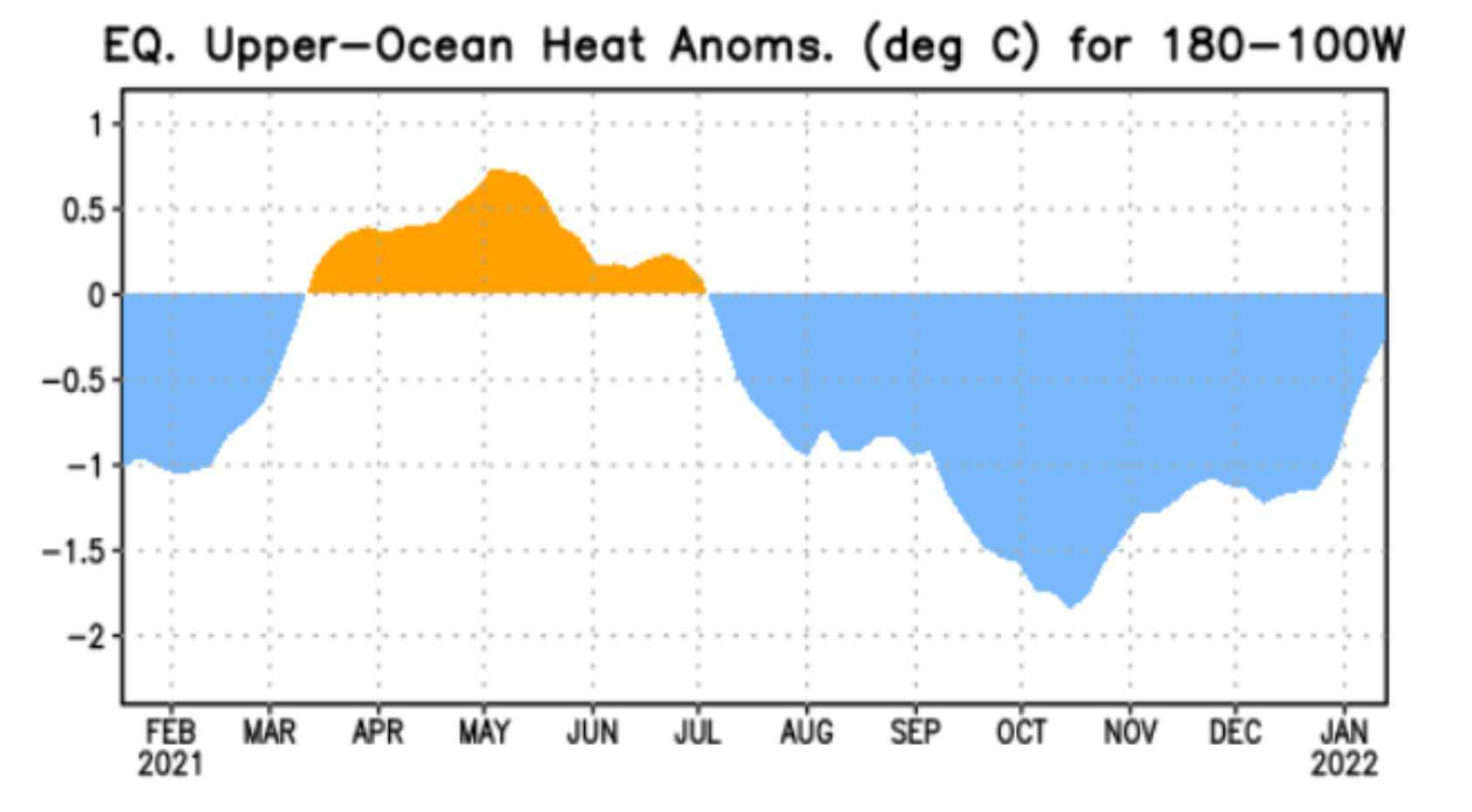
A second La Niña winter in a row is usually followed by a quieter storm season historically. Recent Springs off a back-to-back La Nina include 2018 and 2012. Older examples include 2000, 1985, and 1975.
2012 had a notable run in early to mid April but had an incredibly quiet May and June. The other years were all well below average in terms of tornado production.
Long-term trends?
And then there’s the last big-picture piece of the puzzle which is that as we’ve continued to set records for warmest years ever over the last decade on the planet, the number of supercell-driven tornadoes has been on the downswing, possibly due to increased blocking of storm systems due to a weaker overall jet stream.

Given that tornado counts should have rapidly inflated with the rise of storm chasing and cell phones to document almost every twister, it is notable that we’ve had just two years above-average in the last decade with many years at or near 30 year minimums in the modern era of storm reporting. Also, there is growing evidence that supercell-driven tornado events are on the downswing even more than this chart would indicate as both QLCS tornado detection and storm chasing documentation have inflated counts somewhat vs. history as time has gone on.
Bottom Line?
AS OF RIGHT NOW (remember the caveats at the top) — the overall picture is kind of pointing in one direction and that’s towards a quieter than average year in terms of the national tornado count most likely.
But I’ll use 2013 as the example once again: it was also a very down year overall for tornado counts, but the pattern aligned perfectly for two weeks in late May to produce monster tornadoes on the Plains. So just because the season overall may end up quieter than average in terms of tornado counts doesn’t mean that the tornadoes that do happen won’t be particularly nasty. We definitely don’t know enough to say that.
We’ll share more musings about the upcoming season in future newsletters!
Great synopsis. Thank you!