


The “Ring of Fire” pattern continues today with yet another severe weather risk for Cornhuskers. This likely will mark the end of what has been an extremely busy week in the Central Plains.
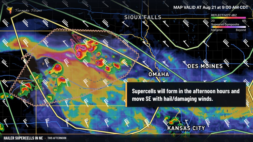
Most likely, storms should form this afternoon or evening in the northern/western 1/2 of Nebraska. Supercells seem like a good bet, with 40kt of 500mb flow aloft mixed with strong to even extreme instability. The question will be timing: can storms get going before the sun sets? If so, despite weak low-level shear, I wouldn’t count out a tornado today.
We Launched A New Site
If you missed our prior e-mail, we just launched an entirely new online weather experience with TitanTrack, our new web app, at the center. It works on all devices on day 1 and allows you to do all sorts of cool things with it. Check it out using this link.
Mesoanalysis for the 21st Century Storm Enthusiast
Generally speaking, a weather enthusiast examining the atmosphere in real-time has had the same set of tools available for over a decade. This is because those tools have been timeless and will exist well into the future. But we wanted to make something that allows you to combine and build your own experience mixed with the educational work we are known for. That was the basis behind why we built TitanTrack.
Pattern Eases a Bit Into the Weekend
We’ll still see some severe risks into the weekend, but the ridge will flatten out a bit and the jet stream will ease aloft, keeping a lid on the overall intensity of activity into the weekend with just a marginal risk or three outlined for Saturday right now.
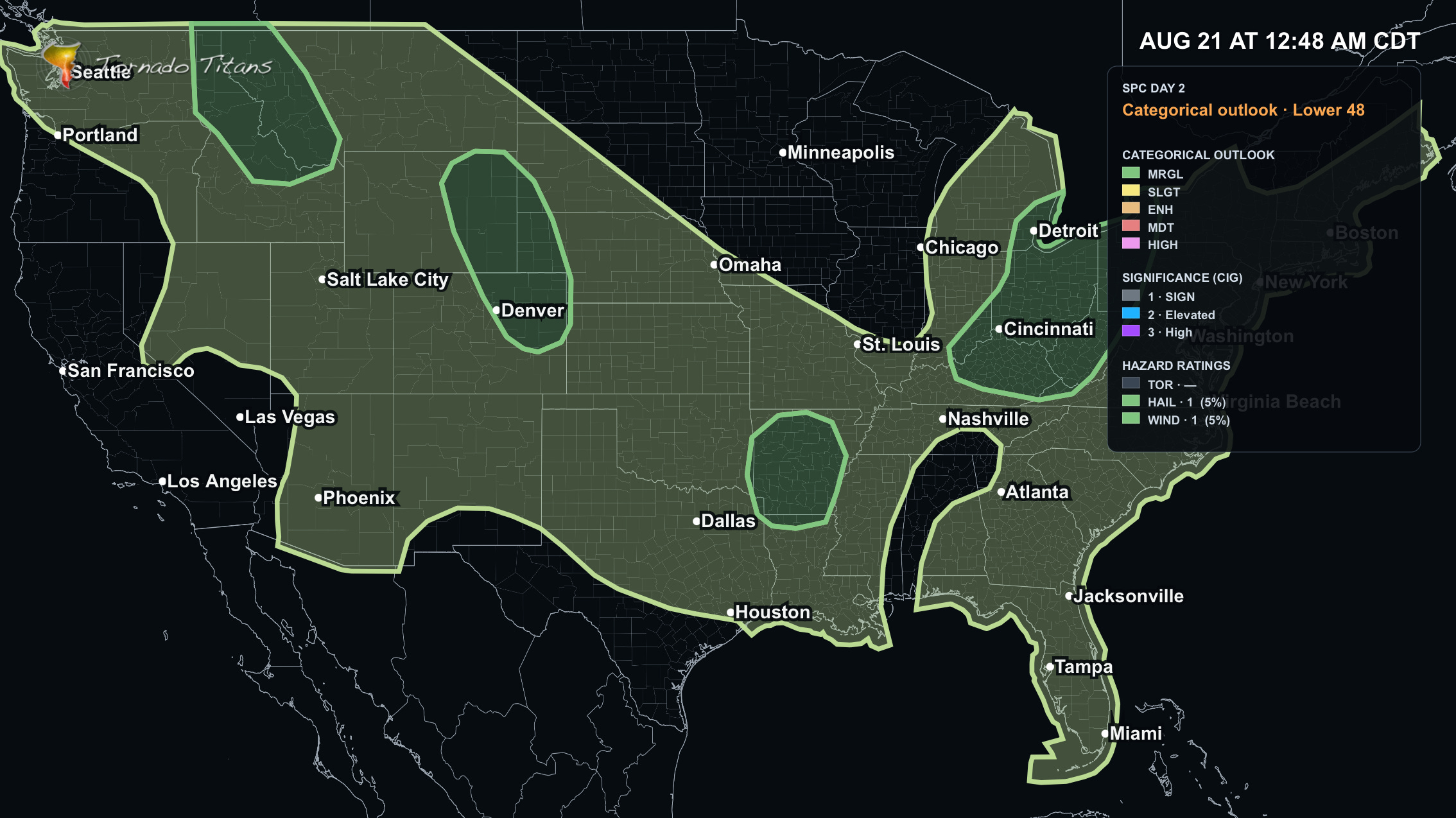
I wouldn’t rule out a few supercells in the Central High Plains, with hail/damaging winds the primary threats.
In other news, the monsoon continues without ceasing, and this storm chaser will likely be out and looking for some pretty electric cells over the weekend. I’ll see you all out there.