

The first severe weather risk on the Plains in 2022
The first severe weather risk on the Plains in 2022
Tornado Alley starts up a little early this year.
It looks like our first severe weather day on the Plains is going to happen in Mid-February! Read on to find out what we are watching.
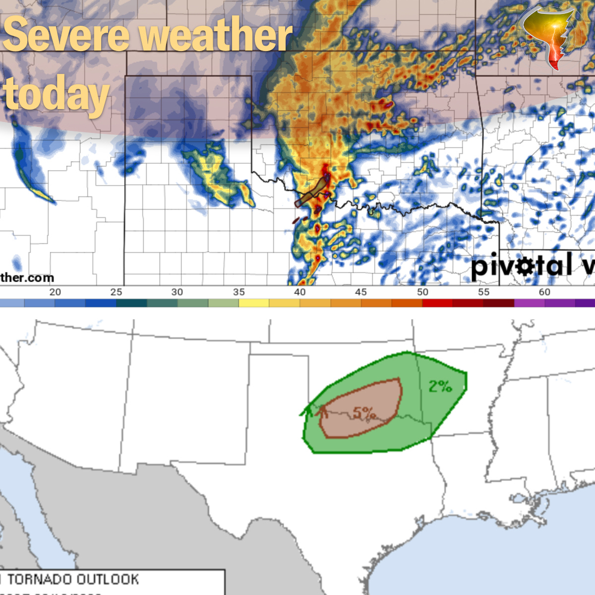
Location: The main axis of severe weather will be centered on the Red River Valley in S. Oklahoma and N. Texas.
Threats: A tornado or two possible along with damaging winds and hail.
Timing: The main timeframe for storms will be late tonight, after 7 p.m. for sure and extending into the early morning hours of Thursday.
Forecast Discussion: Expecting storms to form across SW OK into Western North Texas tonight with an initial threat of a tornado and large hail. Very quickly though, storms will transition into a line of storms with the main threat shifting to damaging winds and quick spin up tornadoes on the front edge of the line. Storms should weaken towards daybreak on Thursday. Storm chasing wise, this isn’t really a day we typically go after so we’ll likely monitor on radar and continue plans to ramp up chasing into next month!!