🌪️ Some Views From Yesterday's Tornadoes in Oklahoma
🌪️ Some Views From Yesterday's Tornadoes in Oklahoma
A damaging day with fatalities.
Yesterday’s tornado threat came to fruition with tragic results.
We talked on this newsletter about an enhanced tornado threat with any robust supercells after 6 p.m. and that was unfortunately realized. Several supercells took shape yesterday across Oklahoma and moved across the Oklahoma City metro area, with tornado occurring on the south and east fringes of the metro.
Some of these tornadoes turned deadly, and others were very damaging. It was another destructive day across the Southern/Central United States.
The first view is from Tornado Titan Brandon Sullivan of the tornado in Cole, Oklahoma:
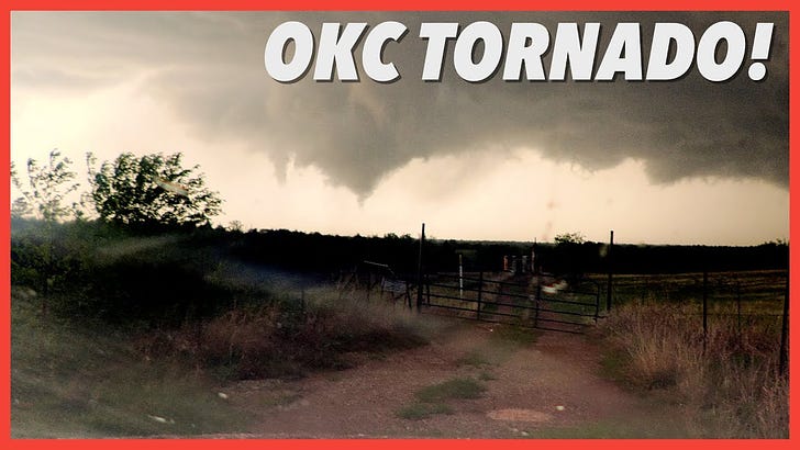
Next up is the view of the tornado in SE Oklahoma City:
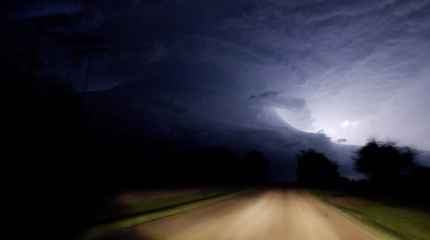
Titan Brett Wright was very enthusiastic about the storm structure yesterday on one of the supercells:
And lastly here’s a video still of the Shawnee, Oklahoma tornado producing supercell just as it began to wrap up. We had views of this tornado and many others after dark.
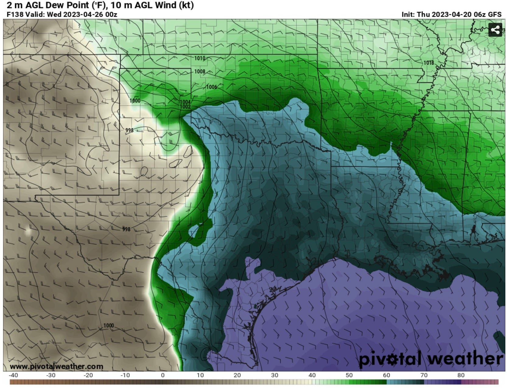
When is Our Next Chance of Severe Weather?
It certainly looks like the next real threat of severe weather will be next Tuesday along a dryline and returning warm front in North Texas and Southwest Oklahoma. More details on that soon.