

🚨🚨 Significant Severe Weather Risk OK/TX Today
🚨🚨 Significant Severe Weather Risk OK/TX Today
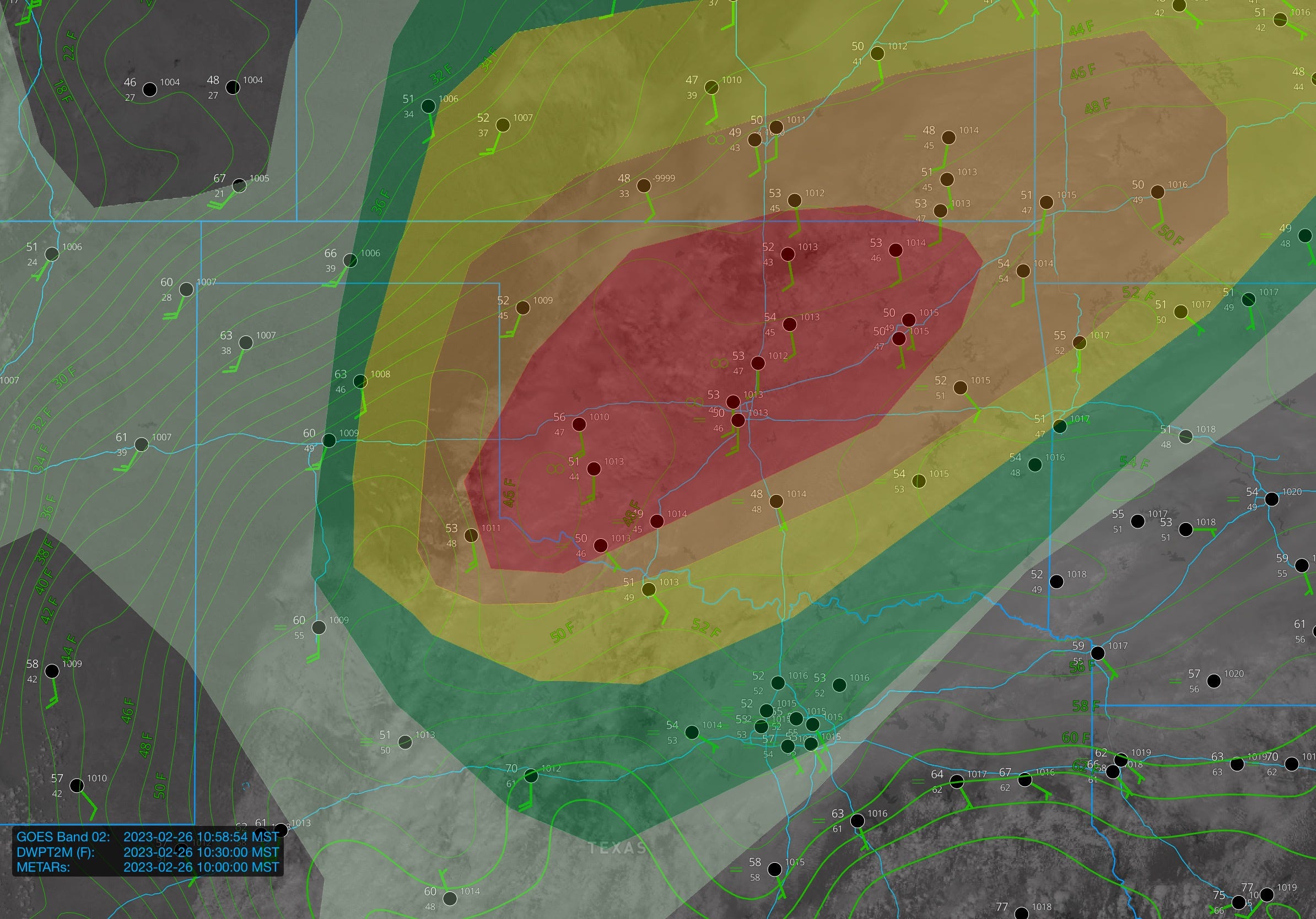
A powerful storm system is taking aim on the Southern Plains.
This is probably one of the most impressive wind shear environments I have ever seen on the Southern Great Plains — that’s actually not an exaggeration. There are only a couple of days I can think of that rival it, and I suspect this day will be a lot like those.
A broken band of storms should form 3-4 p.m. today in the Texas Panhandle and quickly grow into a line. Along that line, damaging wind gusts (perhaps widespread reports of 80 mph or more) along with a few tornadoes will be a threat. But…there are some caveats.
Be sure to read our full forecast blog on our website for our extended thoughts.
Very fast storm motions within a linear complex is going to make tonight an absolute terror to warn on. There is a chance that poor thermodynamics save our bacon, making it hard to mix down extremely damaging winds or spin up tornadoes. QLCS spin ups can happen all in one radar scan, meaning tornado warnings may come after a tornado has already formed and lifted. That’s the challenging nature of the storms today. But, until we see any evidence of the poor thermodynamics limiting the threat, you probably need to prepare and plan to take shelter as the line passes you. From a storm chasing perspective, this is a pretty low-end setup if your goal is good imagery.
And hey, with the storm motions being so fast, that will probably only be for a few minutes. If nothing else, call it a good test run of your tornado safety plan.