

Severe Weather Still on the Menu!
Severe Weather Still on the Menu!
An early summer severe weather chance in Kansas tomorrow!
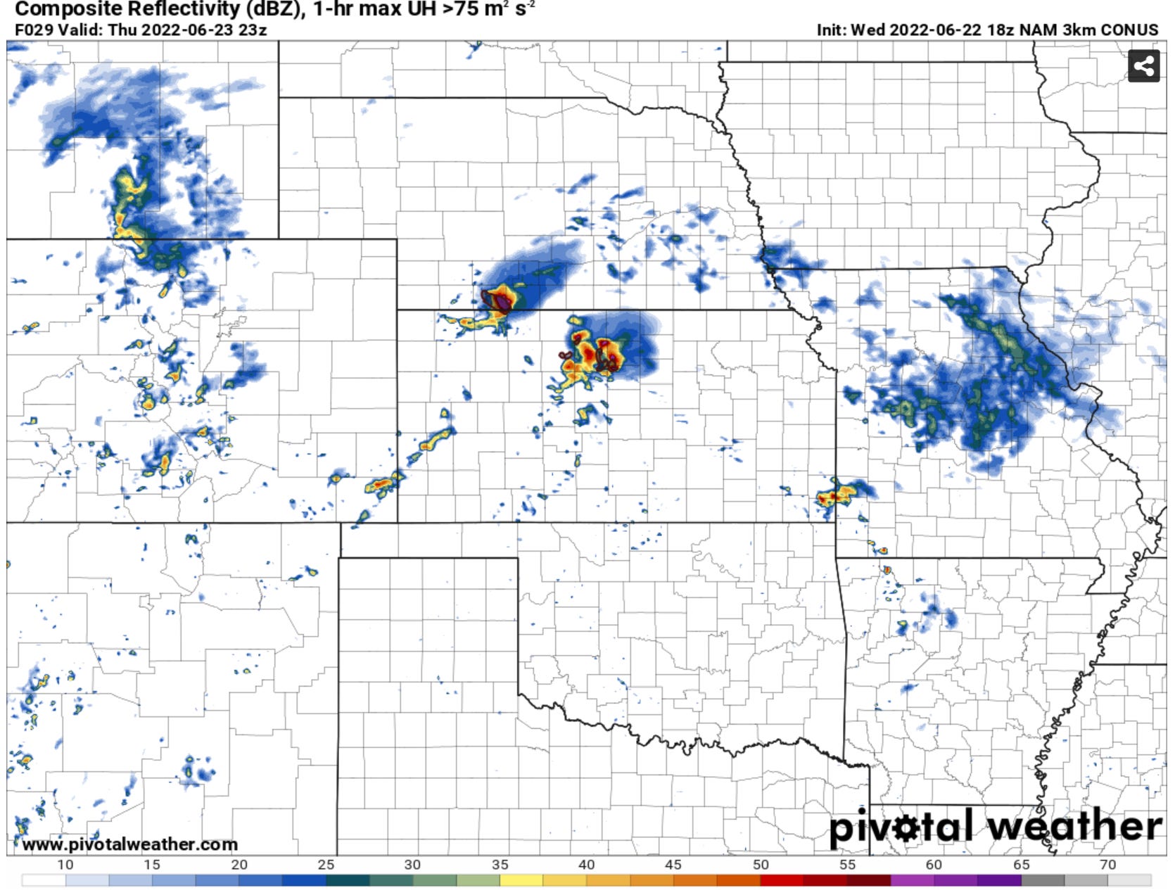
First off, it should come as no surprise that we will have sporadic chances of severe weather, including supercells and tornadoes, over the next few months on the Plains. That’s a pretty normal thing. As such, we’re watching our first interesting summer setup taking shape tomorrow across Kansas:

Tomorrow’s setup is pretty interesting from a storm chase standpoint. Take a look at the sounding below:
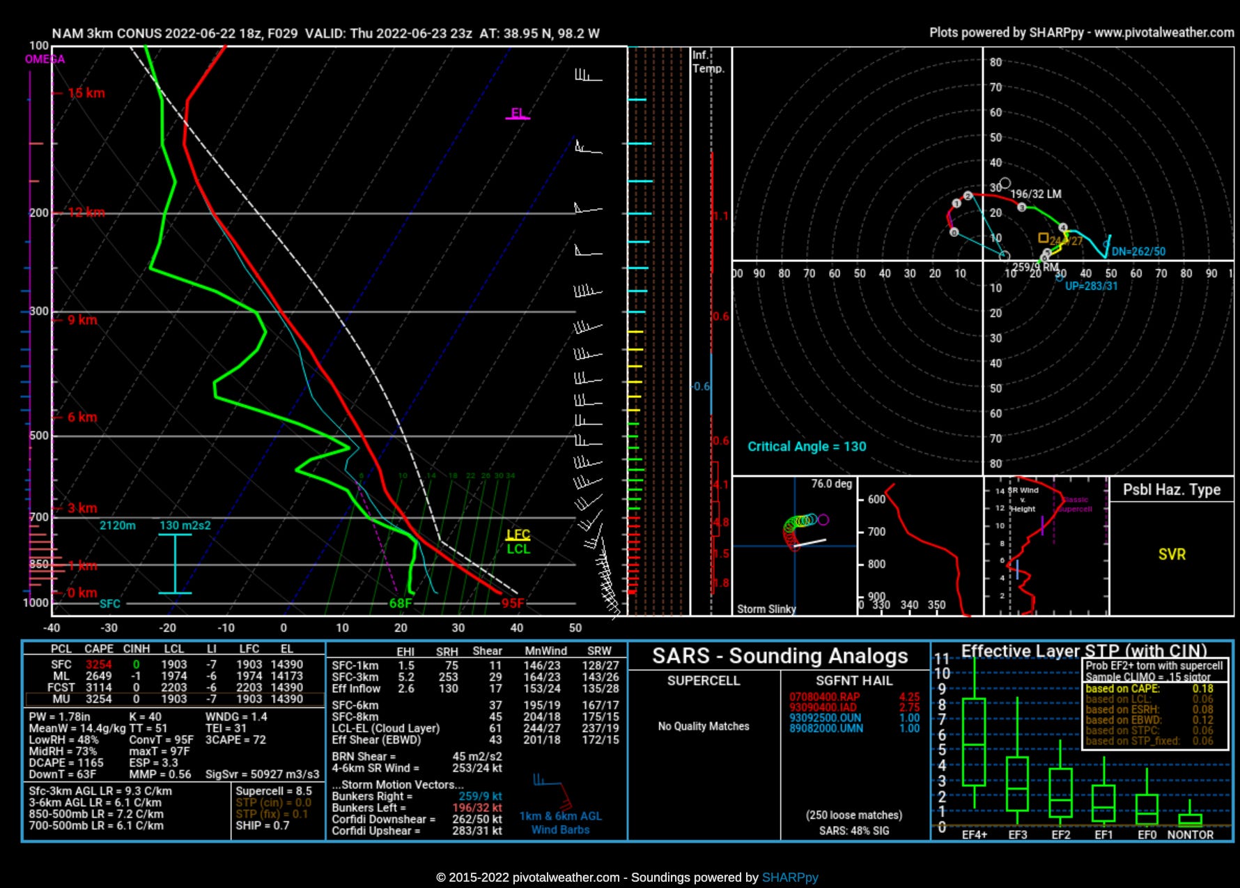
While cloud bases will be higher initially because of large temperature/dewpoint spreads, the wind shear will increase in tandem with cloud bases lowering in the evening. This could be conducive for a tornado or two in the evening hours as well as a pretty dynamic structure show if more isolated storms can form.
Tomorrow is a day that, if you are looking for a rogue summer day to do something interesting on the central/southern Plains, you would be hard pressed to find a better day. We’ll have to see!
The Pattern Ahead
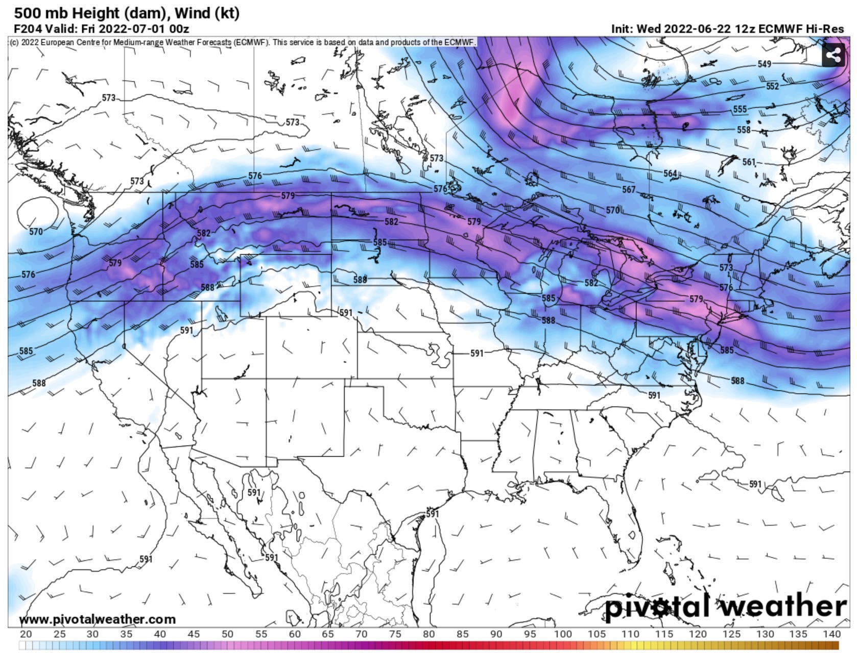
The typical summer pattern is a ridge that wobbles between amplified, pushing the jet stream north into Canada, and then it flattens out, with at least minor jet stream energy over the Plains in the U.S.
As we move into July, the more amplified version of that pattern will take shape with the jet stream energy largely being pushed up into Canada. This will make for a hot/dry start to July for much of the Plains.
The monsoon pattern in the southwest U.S., off to a fast start already, should continue to ebb and flow into July. New Mexico has been the large benefactor of rain thus far, and that may continue somewhat into the next week with some moisture hanging around under the ridge.
If you made it this far, congrats! We’re about to begin a new round of videos on YouTube which will be educational in nature! If you have weather or storm chasing questions, reply to this post with them! We love crowdsourcing content and would love to answer your questions in future videos!
My hopes for chasing tomorrow are diminishing, but I do have some ideas!
I have yet to see any chasers do an authoritative video or video series on maneuvering and positioning. Not just simple rules, like being in the notch to see the tornado in an HP (something new chasers shouldn't be doing anyway), but things like: where to set up for the day, how to move toward storms while preserving options, how to maneuver around storms, how and when to maneuver through storms, how and when to disengage and get home.
I think a good series on these questions would show people what they can expect to see when they're engaging in these decisions, e.g. what it's like to drive through the forward flank, what it's like to drive through that crashing cold front (people should do this less often in my opinion), what it's like to approach a storm of a certain type from a certain direction, what are the signs you should move, etc.
I remember my first time coming up to a big supercell: I needed to get closer, but it was a large, dark, imposing mass, my only roads in were dirt, and everything below the meso looked like soupy haze. So I chickened out and moved onto the next storm. In reality, the roads were dry and the haze would have dissipated had I moved in closer. The storm was moving fairly slowly northeast and I had plenty of room to escape on a well-maintained grid. This sort of foreknowledge would be a great benefit to new chasers, especially those that start out alone, which is unfortunately the case for a lot of people.