
⛈️ 🌪️Giant Hail, Risk of Tornadoes Tomorrow
⛈️ 🌪️Giant Hail, Risk of Tornadoes Tomorrow
Missouri to Texas: Get ready for a busy severe weather day.
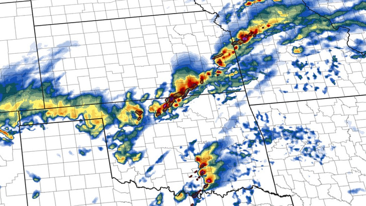
An Enhanced Risk of severe thunderstorms exists Monday and Monday night across portions of the Southern and Central Plains into the Mid-Mississippi Valley. All severe weather hazards, including large hail, damaging winds, and tornadoes, are possible. Here’s what you need to know:
Locations
Southern Plains (Texas, Oklahoma, portions of Kansas)
Central Plains (portions of Kansas, Missouri)
Mid-Mississippi Valley (portions of Arkansas, Missouri, Illinois)
Threats
There is a potential for very large hail (hailstones larger than 2 inches), especially in the Southern Plains and Ozarks.
Damaging winds
Tornadoes – the highest outlined risk for tornadoes is expected from southern Missouri into southern Illinois during the evening.
Timing
Monday afternoon through Monday night.
Discussion
Favorable Storm Setup: A powerful upper-level weather system will move across the Desert Southwest, setting the stage for widespread storm development over the Plains and Mississippi Valley.
Significant Hail Threat: Steep lapse rates (rapid cooling with height) in the atmosphere and strong wind shear will support a threat of huge hail, especially across the Southern Plains and Ozarks.
Some of the hail sizes could be giant. The setup strongly resembles other early-season giant hail-producing setups with small 0-1km hodographs that are stretched out aloft.
The greatest threat of giant hail will be with supercells that can initiate off of the dryline, which looks most likely in the Red River Valley.
Tornado Potential: Strong wind shear and a well-defined warm front zone have led to an outlined strong tornado risk, especially from southern Missouri into southern Illinois during the evening.
Zooming In: This risk looks a bit dependent on storm mode, though, and seems a bit more iffy than you’d otherwise expect.
Technical Discussion

A robust storm system is located out west and will move east throughout the day. The timing of shortwaves ahead of this system will determine when storms can form.

Something I’m keeping an eye on is the thick cloud cover that might be present most of the day. More than one model shows this, with a delayed storm formation time to near sunset. A more robust cap is in place tomorrow, so a delay in surface heating and the primary wave may lead to delayed storm formation.

With that in mind, I am leaning more toward the later initiation solution. Here is what the RRFS says about tomorrow’s storm location at 6 p.m. CDT. There are storms well down the dryline and along a cold front with a bit of a lull in between.

With time, storms should form into a linear system or two and march east. This may be when the tornado risk peaks with QLCS brief tornado spin-ups along the front edge of the lines. But the wind shear isn’t terribly strong tomorrow at the low levels.

850mb winds out of the SSW seem common on models, with speeds that aren’t terribly impressive throughout much of the area. Typically, for big tornado days, you are looking for speeds closer to 30-40kt at this level, not 15-20kt. This is why tomorrow more closely resembles a giant hail day across much of the region than a big tornado event.
You can see a more detailed forecast discussion via video here:
Watch the severe weather on virtual railfan cameras