
Dust Bowl Storm Chasing!
Dust Bowl Storm Chasing!
We have two new videos for you to check out!
Hello there! We’re waiting out the summertime pattern for signs of spring. Models are beginning to show the pattern evolving into something more akin to our second storm season on the Plains that occurs in the fall — but that will be 10 or more days out most likely. So, in the meantime, you should check out some premium storm chasing content!
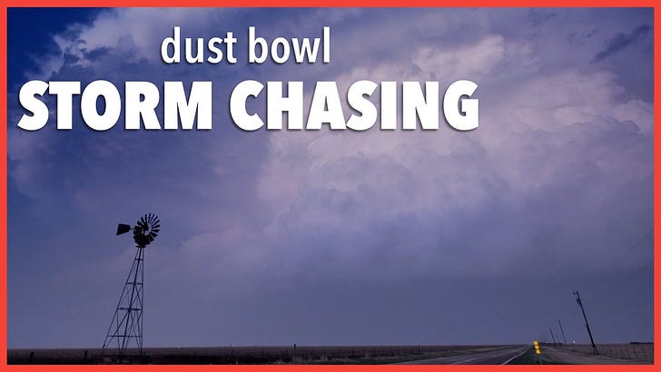
My 2022 storm chase season began in the Texas Panhandle on April 22. A trough with strong winds aloft was passing overhead, but that also created strong southerly winds at the surface. With strong drought conditions present, that created a dusty mess of a day which made chasing storms...difficult.
Still, despite what I thought were a little too dry low-levels and so-so shear until sunset -- the SPC issued a 5% tornado risk and I decided to give it a go. The day was a tough one to chase, but the ending scene at blue hour was one I'll remember for awhile!
Sometimes a storm chase is completely and utterly unexpected in what it produces. On this day, there was a weak MCV in northern Kansas but no other real indications that something incredibly powerful could take shape. In fact, the best tornado risk on this day was shaded south in southern Kansas.
Still, Titans Eugene Theiszen and Jason Caster waited patiently in northern Kansas near Solomon as a supercell took shape. Over the next three hours or so, they'd witness a storm produce a long-track, monster wedge tornado that was on the ground for nearly 90 minutes. This tornado was rated a high end EF-4 (IMO these might as well be EF-5s but that's another video for another day).
Tornado date: May 25, 2016
Tornado rating: EF-4