

A weekend of severe wx risks!
A weekend of severe wx risks!
When, where, and what to expect!
A pair of storm systems will bring severe weather risks to two different regions this weekend. Today, Iowa will see the highest risk of severe weather and that threat pivots to SE Oklahoma into Arkansas tomorrow.
Let’s break down both days.
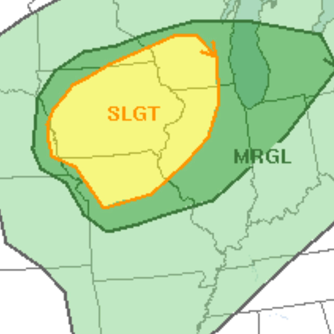
Today: Iowa
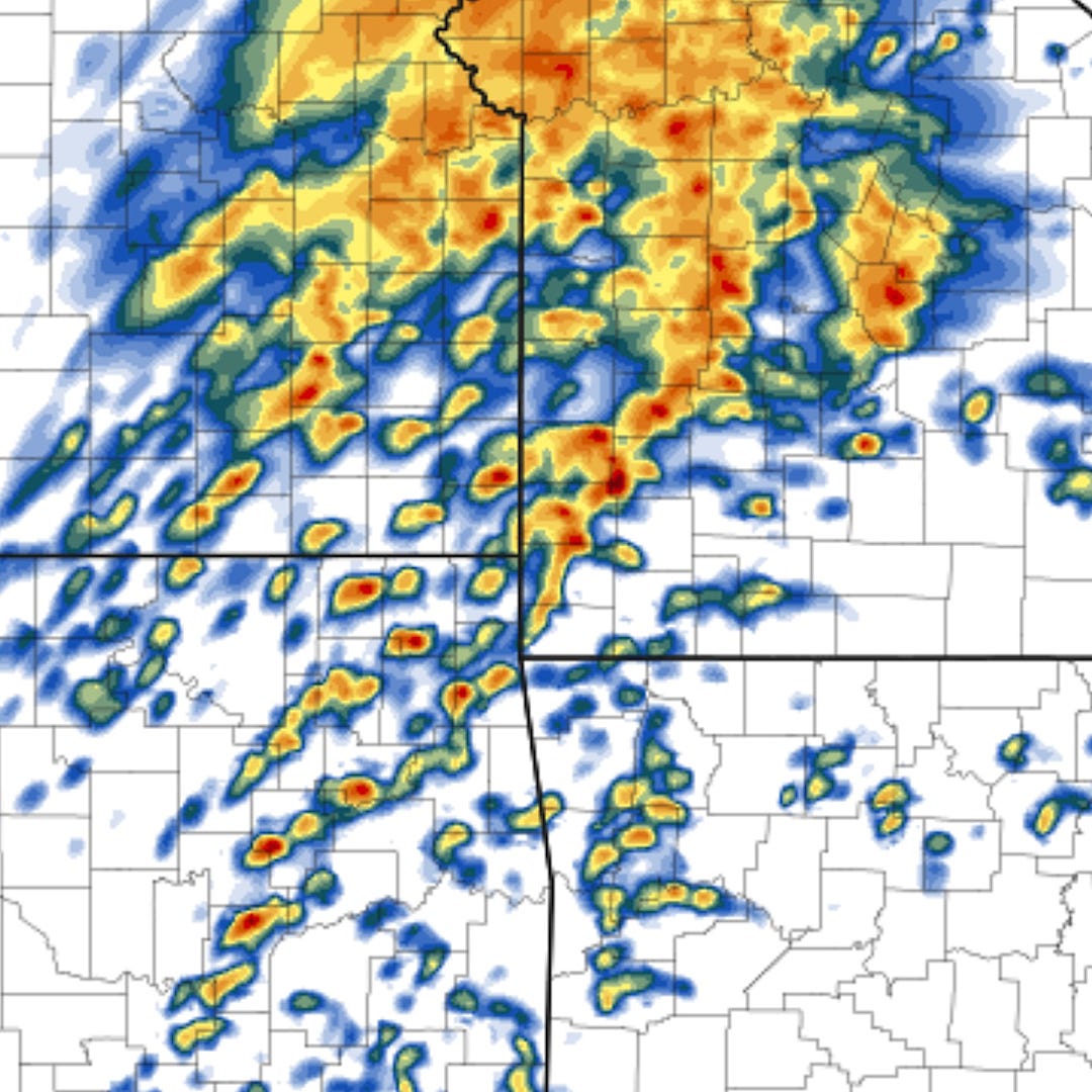
Storms will fire this afternoon across portions of Iowa ahead of an advancing low pressure system. We expect a broken band of low-topped storms, including supercells, to take shape and move northeast by mid-afternoon. These storms are going to pack a risk of hail and tornadoes as they move north and east.
The area we are watching the closest would be storms forming in western Iowa. It’s here where we think the best combination of vorticity (spin), instability, and wind shear will be present closer to the low pressure system center. Storm chasers oftentimes like to hug these low pressure systems as they can be tornado magnets.
We have a whole series of videos on how storm chasers target for storms on our website.
Tomorrow: The Risks Move South
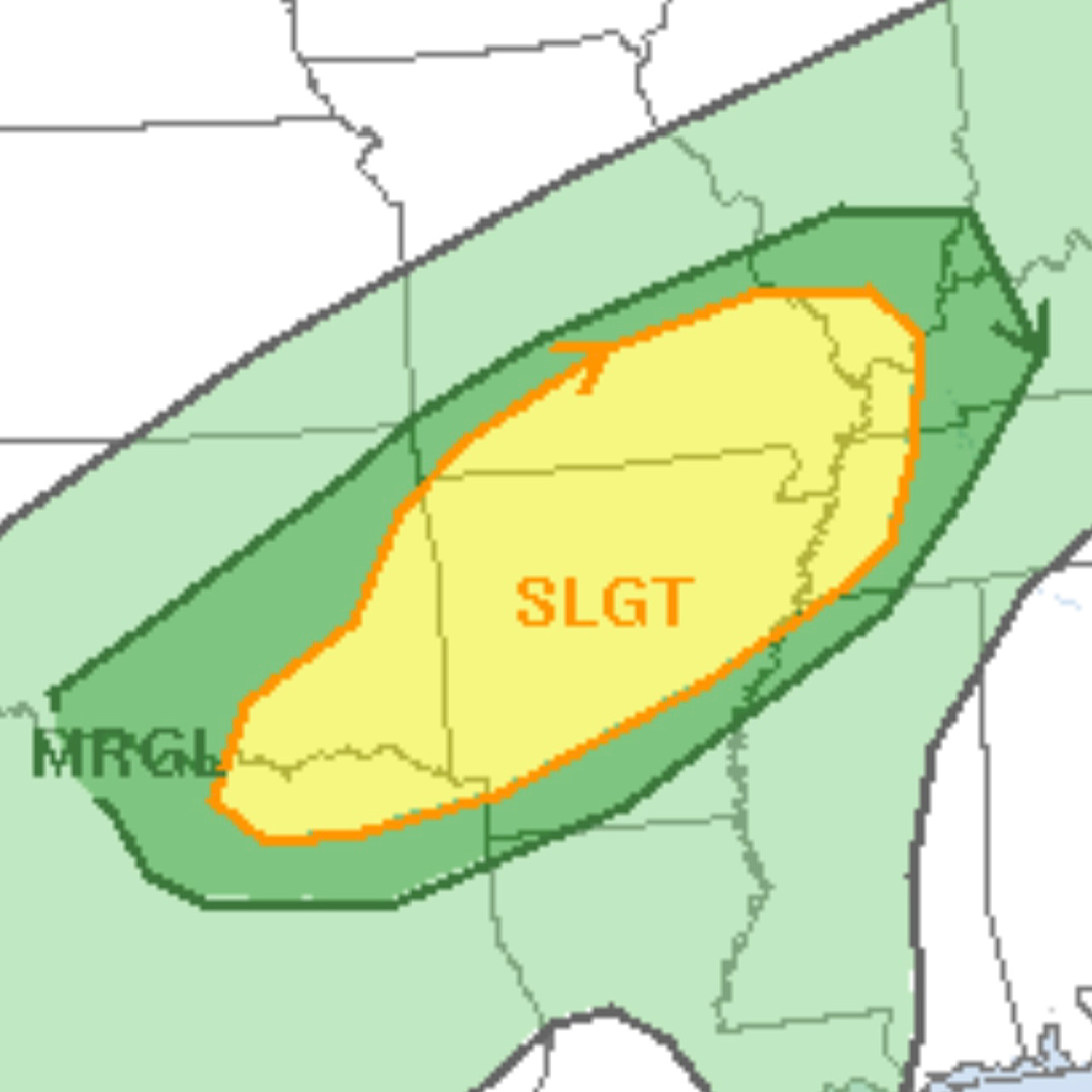
The heart of tomorrow’s risk area will be centered on Arkansas, but the risk will stretch back west as far as north-central Texas. A front will be draped over this region with much cooler air on the north end of it and warm, moist, and unstable air to the south. It’s in this unstable air where we expect numerous storms to take shape.
Tomorrow, there is a risk for storms to take shape into supercells (rotating thunderstorms) with an attendant risk of tornadoes from the afternoon into the overnight. Right now, it looks like storms will be widely scattered to start with storm organization being hard to come by thanks to limited instability and crowded storm modes. However, after dark there is a reasonable chance storms will form into a line which would be capable of damaging winds and tornadoes as it moves east from eastern Oklahoma into Arkansas and southern Missouri.
Storm Chase Thoughts
Today is a potential really solid day for storm chasing in the Midwest. Isolated storm modes with good hodograph shapes mean any tornadoes that might happen would be photogenic. This writer is jealous of anyone within earshot of today’s target area!
Tomorrow is a different story, with limited instability, crowded storm modes, and unfavorable terrain combining to create a pretty miserable storm chasing experience. The risky but only really potentially rewarding target would be if an isolated storm can go further west in north-central Texas or south-central Oklahoma.
Coming Up
There will be a risk of severe storms in the South on Monday. After that, models are hinting at more severe weather potential in the South by late week into the weekend. For the Plains, repeated cold fronts will make storm setups hard to come by through mid-month.
Stay up to date with our latest thoughts on severe weather setups this Spring on our Facebook page or on Twitter.