

A Shot of Winter 🌬️❄️
A Shot of Winter 🌬️❄️
A compact system will move through the Southern Plains tomorrow with a chance of snow.
The OKC area had a small but robust band of snow earlier this weekend and now, it might be a lot more folks turn for their first snowfall of the season. However, I think the bust potential with this system is high either way (a lot more snow than forecast or a lot less snow than forecast). Let’s take a look.
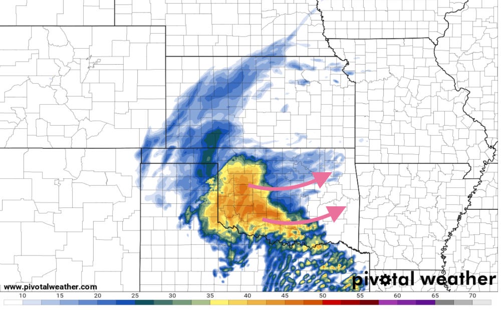
Precipitation will ramp up across the Panhandles early tomorrow and intensify as it moves east into Oklahoma. The airmass ahead of this band of precipitation will be in the mid-upper 30s and perhaps even into the low 40s.
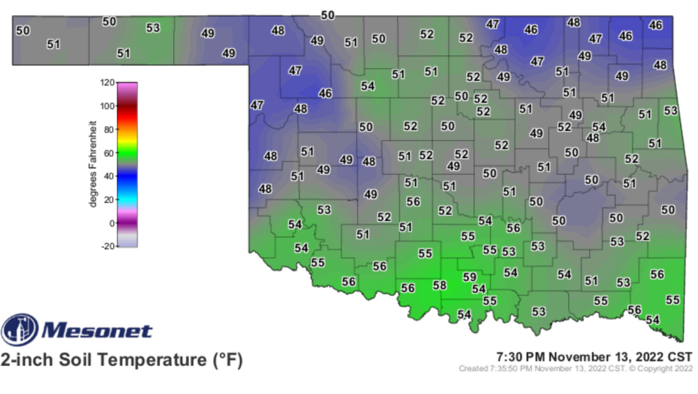
Additionally, ahead of this system, ground temperatures are pretty warm. This means that any snow that falls will need to be especially heavy to accumulate, this will also help keep roadways more clear than they would have otherwise.
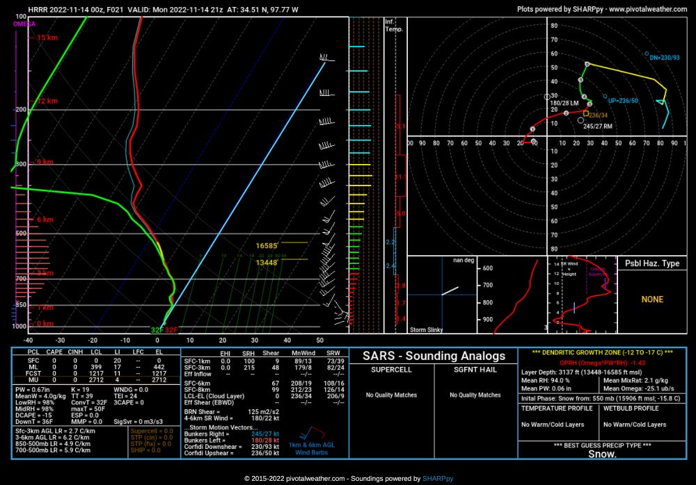
🌡️ Temperature Watch: The last thing I’m watching is just the overall evolution of the temperature profiles aloft. Right now it looks like the event will start out as rain and switch over to snow at some point for the northern 1/2 or so of the precipitation shield at least.
With temperatures rather warm ahead of this system, the atmosphere will have to cool itself off as precipitation is falling, which will lead to unpredictable patterns of rain/snow changeover timing.
There will probably be a sharp cut-off on the south end that goes from 1-2” of snow on grassy surfaces to none.
Some localized areas south of I-40 could see 3-5” of snow.
🚗 Travel Problems For Some: Any time snow falls on the Southern Plains, it is a sure bet that travel problems will occur for some. Luckily, with the warmer ground temperatures and quick-moving nature of the system, roadways will be a lot easier to deal with for crews. There will be some impacts, but this won’t be the highest-impact winter storm of the season for the region almost certainly.

The Bottom Line: This winter weather event will cause some travel headaches and we’ll see some isolated bands that end up in the several inches range, but the snow will melt fast and roads should clear relatively quickly too thanks to warm ground temperatures. The cold temps though? They’re not going anywhere for a good long while.
Super solid analysis as always! 👍 and thanks for the great info!
What is the ‘rare occurrence’ meteorologists are talking about?